
Welcome to our new ‘Bytesized’ series, your go-to for a quick read on hot topics in utility infrastructure. Each article delivers insights to keep you informed, fast.
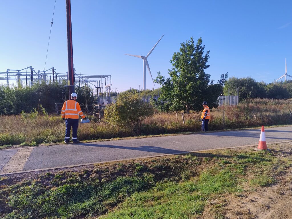
Survey work was recently carried out at a substation in Lincolnshire, where the team undertook a PAS 128 utility survey to support the development of a new cable route for the client. GPS devices were used to capture mark-ups across the site, and the data collected is being processed into a 2D format to visualise the survey findings.
The activities included both utility mapping and topographical surveying. These provided essential information for cable route planning, including land heights, culverts, drains, and their dimensions. This level of detail was key to identifying landmarks and ensuring the proposed route would be practical and efficient.
Utility mapping also played a vital role in understanding existing infrastructure. It helped confirm what was already documented and revealed previously unknown features that may require further investigation. By undertaking these surveys, the team helped de-risk the project, ensuring that design decisions were based on accurate, site-specific data.
The PAS 128 survey provided a critical foundation for the project. By capturing accurate, site-specific data early in the process, we were able to validate existing records, uncover unknown risks, and inform the design with confidence. This proactive approach significantly reduces the likelihood of costly delays later in delivery. – Madalina Cordea, Pre-Construction Project Manager.
This work formed a crucial part of the early planning phase, laying the groundwork for a safe and effective cable installation into the substation.